Welcome to the QR Trail!
This interactive trail is the result of the Virginia LEAF
(Link to Education About Forests) partnership program. Working with the
National Park Service’s Manassas National Battlefield Park, the Virginia
Department of Forestry’s Conway Robinson State Forest, and the Virginia
Cooperative Extension’s Northern District Natural Resources Program, LEAF aims to provide educational opportunities for
Virginians by combining outdoor experiences with heritage tourism.
QR codes are posted throughout the Conway Robinson State Forest. To learn how to use the trail, check out our video:
QR codes are posted throughout the Conway Robinson State Forest. To learn how to use the trail, check out our video:
|
Click here to download a map of the QR Trail:
|
| ||
Manassas National Battlefield Park
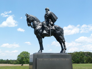
The mission of the
Manassas National Battlefield Park is to preserve the historic landscape including
historic sites, buildings, objects and views that contribute to the national
significance of the First and Second Battles of Manassas. In addition to its
historic value, the Battlefield provides 5000 acres of undeveloped land that
locals & tourists use for outdoor recreation and wildlife viewing. The Park
offers hiking, horseback riding, and fishing for those seeking to enjoy the
great outdoors.
Conway Robinson State Forest

Named after a prolific 19th
century Virginian lawyer, the Conway Robinson State Forest serves as a forest research
and educational site. With a Forest-Use permit, visitors may enjoy bike-riding
and horseback riding through the lush 444 acres of forested land.
